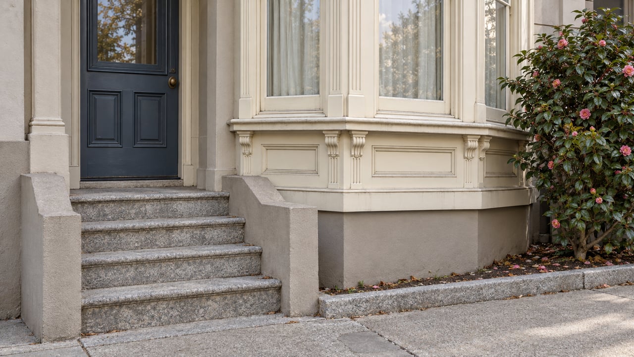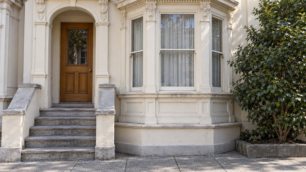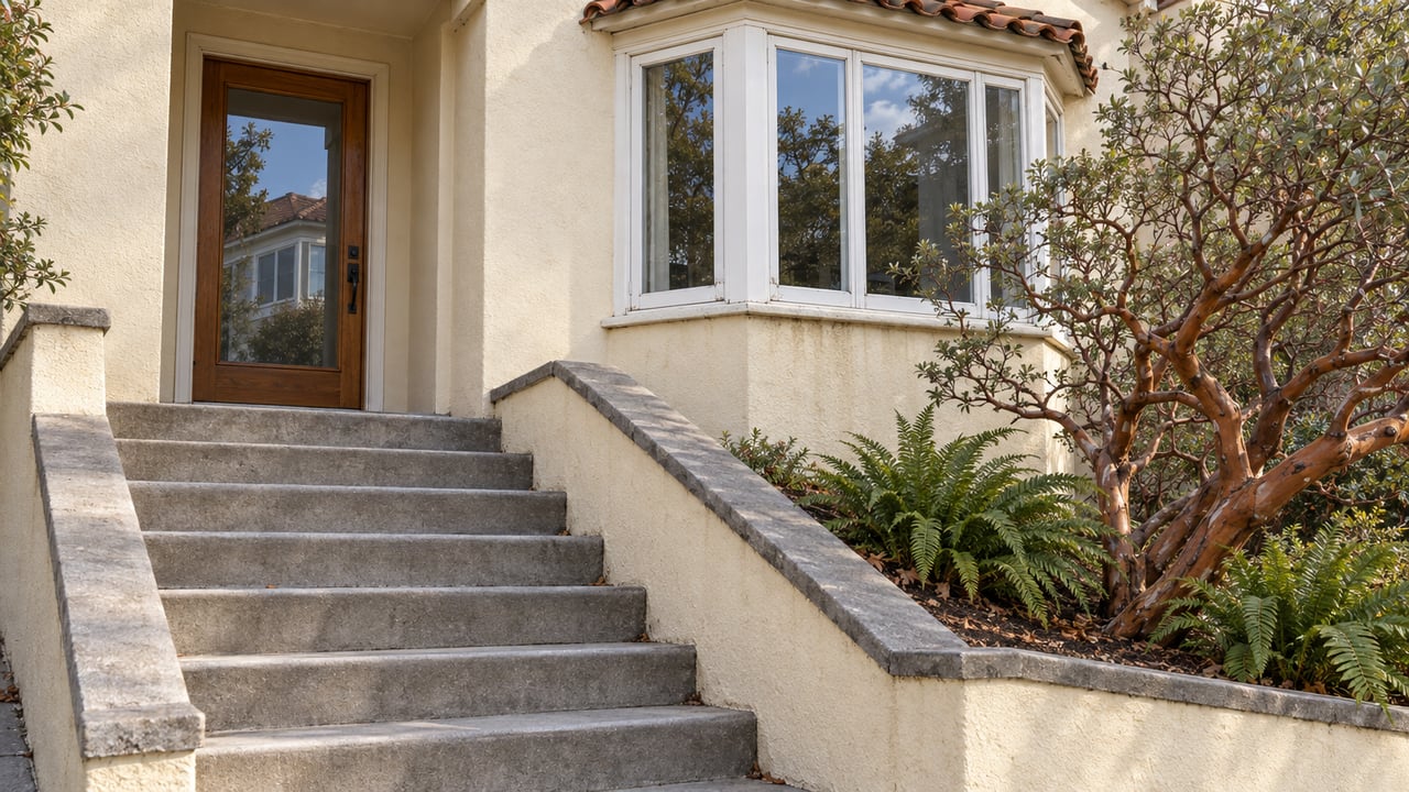
There is no single way up Mount Davidson. The mountain has at least four unmarked entrances tucked into ordinary residential blocks, and each one delivers a genuinely different fifteen minutes on your feet. One is a 1930s stone staircase that gains height fast. One is a wide fire road that barely rises. One skips the tree cover entirely and puts you in sun and wildflowers instead of eucalyptus and fog drip. Most people who live near the mountain default to whichever entrance is closest to their driveway and never learn the other three exist. That's the thing worth correcting, because the entrance you pick changes the walk more than the season does.
The Stairs Are Older Than the Neighborhood Around Them
Some of the rock stairs and retaining walls on Mount Davidson date to the Works Progress Administration, built during the Depression alongside the concrete cross that still marks the summit. Falling trees, limbs, and creeping root growth had damaged sections of that stonework badly enough that San Francisco Recreation and Parks ran them through the department's Urban Trails Program, which realigned the steepest, narrowest segments for safety and erosion control and added signage at trailheads and junctions. That matters for anyone who's used one entrance for years out of habit. The stairs you remember as loose or eroded in a particular spot may not match what's underfoot now, and the junctions that used to be unmarked guesswork have signs on them today.
Four Doors, Four Different Walks
The mountain's forty acres pack in close to five miles of trail and about four hundred feet of total elevation gain, which sounds modest until you notice how differently that gain gets distributed depending on where you start.
- Juanita Way, at its junction with Dalewood Way, is the steepest option: a stone staircase built in the 1930s that front-loads the climb. It's the fastest way to bank the full elevation gain in one push, and in heavy fog the stairs can nearly disappear under condensation dripping off the eucalyptus canopy.
- Myra and Dalewood Way is the flattest and shortest route to the cross, under half a mile, and reads more like a neighborhood shortcut than a hike.
- Rockdale Drive and La Bica Way are two separate entrances onto the same trail network from the opposite side of the mountain, useful if your daily loop starts on that side of Miraloma rather than backtracking to Juanita or Dalewood.
None of these are posted with a sign that says "Mount Davidson trailhead." They're gaps between houses, stairwells wedged next to somebody's front yard, openings in a fence line. The entrances work because the neighborhood absorbed them into its own geography rather than the other way around.
Two Forests Occupy the Same Hill
Most of what climbers see on the western and northern slopes is eucalyptus, and that forest has a specific origin. Adolph Sutro, who at one point owned roughly a twentieth of all the land in San Francisco, recruited schoolchildren in the 1880s to plant fast-growing tree saplings across his property, including this hill. He planted a mix of species, but it's the blue gum eucalyptus that outcompeted the rest and now covers roughly thirty of the mountain's forty acres. That density is why the west side reads as rainforest rather than city park: thick canopy, fog drip, blackberry and ivy choking the understory.
The northeast-facing slope tells a different story. It stayed grassland and coastal scrub, home to two locally uncommon native plants, California huckleberry and Pacific reed grass, along with seasonal wildflowers that include California poppy, blue-eyed grass, hog fennel, checkerbloom, and mule's ears. One trail chronicler who has mapped the mountain extensively has called out a single serviceberry shrub along this stretch as, to his knowledge, the only place in San Francisco where that native shrub grows. The Native Garden Trail follows this side, forming a half loop on the mountain's eastern flank that connects off the Juanita route before it switches back toward the summit, and it never touches the eucalyptus corridor at all. If the ivy and blue gum on the west side aren't your preference, this is the way around them, and late winter into early spring is when the wildflowers along it are at their fullest.
The Summit Belongs to Someone Else
The 103-foot concrete cross at the top isn't city property. San Francisco sold the parcel it sits on after years of legal fights over a religious symbol standing on public land, and the site is now owned by the Council of Armenian-American Organizations of Northern California, which maintains it as a memorial to the 1.5 million victims of the Armenian Genocide and holds an annual sunrise service there every Easter. Public access to the cross itself remains free. It's a detail that's easy to miss simply because the transition from park trail to private hilltop parcel has no fence, no gate, nothing that visually marks where the city's land ends and the Council's begins. You reach the top the same way regardless. Only the ownership changes underfoot.
Past the Ridge, a Private Street Nobody Drives
Anyone who wants to extend the walk past the summit has one more option worth knowing about. Knockash Hill, on the far side of the ridge, is one of San Francisco's few private streets. Cars aren't permitted, but walking it is, and the route passes the New Life Church of the Nazarene and a stretch of reinforced cliff face that used to be ocean floor before tectonic uplift pushed it several hundred feet into the air. The private street dead-ends at a wooden sign marking an open space preserve, the only clue that the path keeps going. From there it's a short traverse to Edgehill Mountain, a smaller and far less visited hilltop that on a clear day offers views out to the Farallon Islands and the Golden Gate Bridge in the same sweep. It's not part of the Mount Davidson trail system proper, but the two hills sit close enough that residents treat them as one extended loop rather than separate destinations.
Where the Walk Ends
Coming back down toward Portola Drive puts you at the commercial strip that's anchored the neighborhood since 1942, when Mark Pommon opened Tower Market there in the middle of wartime rationing. Pommon had arrived in San Francisco from Greece in 1905 at fifteen years old, cleared rubble after the 1906 earthquake for five dollars a day, worked logging camps on the Mendocino coast, and ran a string of San Francisco groceries before building the market that would define this corner of the city. His son Dan expanded the store three times, eventually growing it to ten thousand square feet. The store still stands on that same stretch of Portola Drive, now operating as Mollie Stone's, though longtime residents still call it Tower Market out of habit. The same short strip holds Tower Burger and Taqueria Miraloma, two of the more specific reasons to end a hike here rather than somewhere else.
The Miraloma Park Improvement Club, incorporated in 1936, still runs a clubhouse on Del Vale Avenue off O'Shaughnessy Boulevard, built on land the club has leased from the city's water department for a dollar a year since 1940. It's the kind of institution that outlives the individual houses around it, and it's part of why the mountain's various unmarked entrances have stayed usable and known within the neighborhood rather than fading into forgotten cut-throughs.
The mountain doesn't advertise any of this. There's no kiosk at the base explaining that the stairs are Depression-era WPA work, or that the cross belongs to a private memorial trust, or that the quiet fire road and the stone staircase a few blocks apart will give you two entirely different hikes. You find it by using more than one entrance, which is the whole point.
If you're weighing what a home near Mount Davidson is actually worth to your daily life, not just your commute, Stephanie LeBeau can walk you through what living at any particular entrance to this mountain really means, block by block.
This article is general information, not legal, tax or financial advice. Consult a qualified professional about your situation.